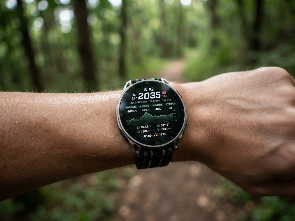
Amazfit is rolling out firmware version 6.4.16 for the Cheetah 2 Ultra, adding seven coordinate-display formats that can help trail runners and hikers cross-reference their location with topographic maps. The setting is available under Settings > Preferences > Coordinates, according to users who have received the update.
- Decimal Degrees (DD)
- Degrees and Decimal Minutes (DDM)
- Degrees, Minutes and Seconds (DMS)
- Military Grid Reference System (MGRS)
- Universal Transverse Mercator (UTM)
- British Grid
- Japan Grid
DD, DDM and DMS are familiar geographic coordinate formats used by many GPS services. UTM and MGRS are more useful when comparing a position against a grid-based topographic map, while British Grid and Japan Grid support mapping conventions used in those countries. The change affects how the watch expresses location, not the accuracy of its GPS signal.
There are still limits to the implementation. Coordinates cannot be added as a data field to a workout screen alongside metrics such as pace, time or altitude; users must open the map page to check them. The firmware also introduces new symbols for saved points, but those points cannot yet be renamed or sorted alphabetically or by distance.
The Cheetah 2 Ultra had already received map-control improvements and grade-adjusted pace (GAP) metrics in earlier releases. Version 6.4.16 is being distributed gradually, so it may not yet be available on every watch.
Affiliate link: Check availability on Amazon.de